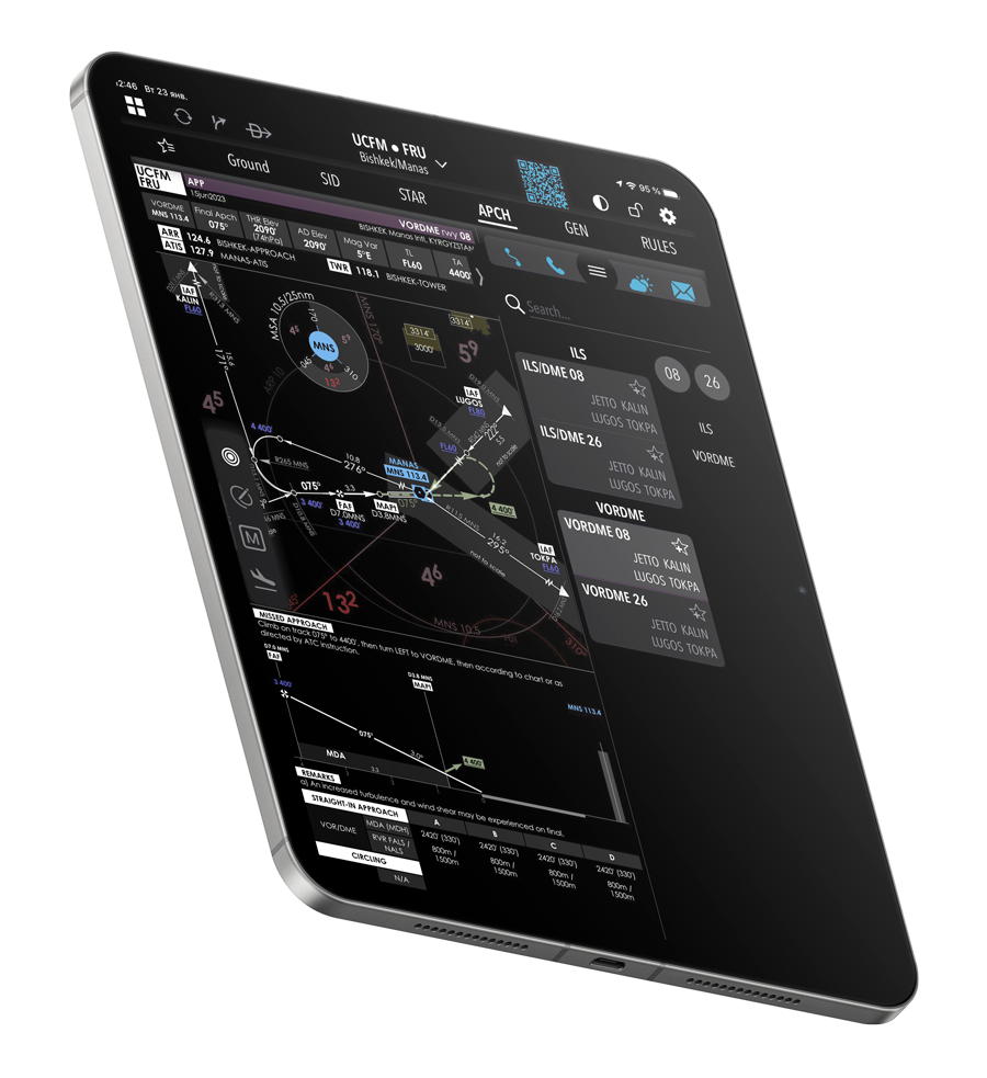
Instant access to all navigation data during preflight preparation and enroute. Trusted by airlines to improve workflow and reduce costs.
Extremely fast app performance — a must when time is short and pilots need instant response.
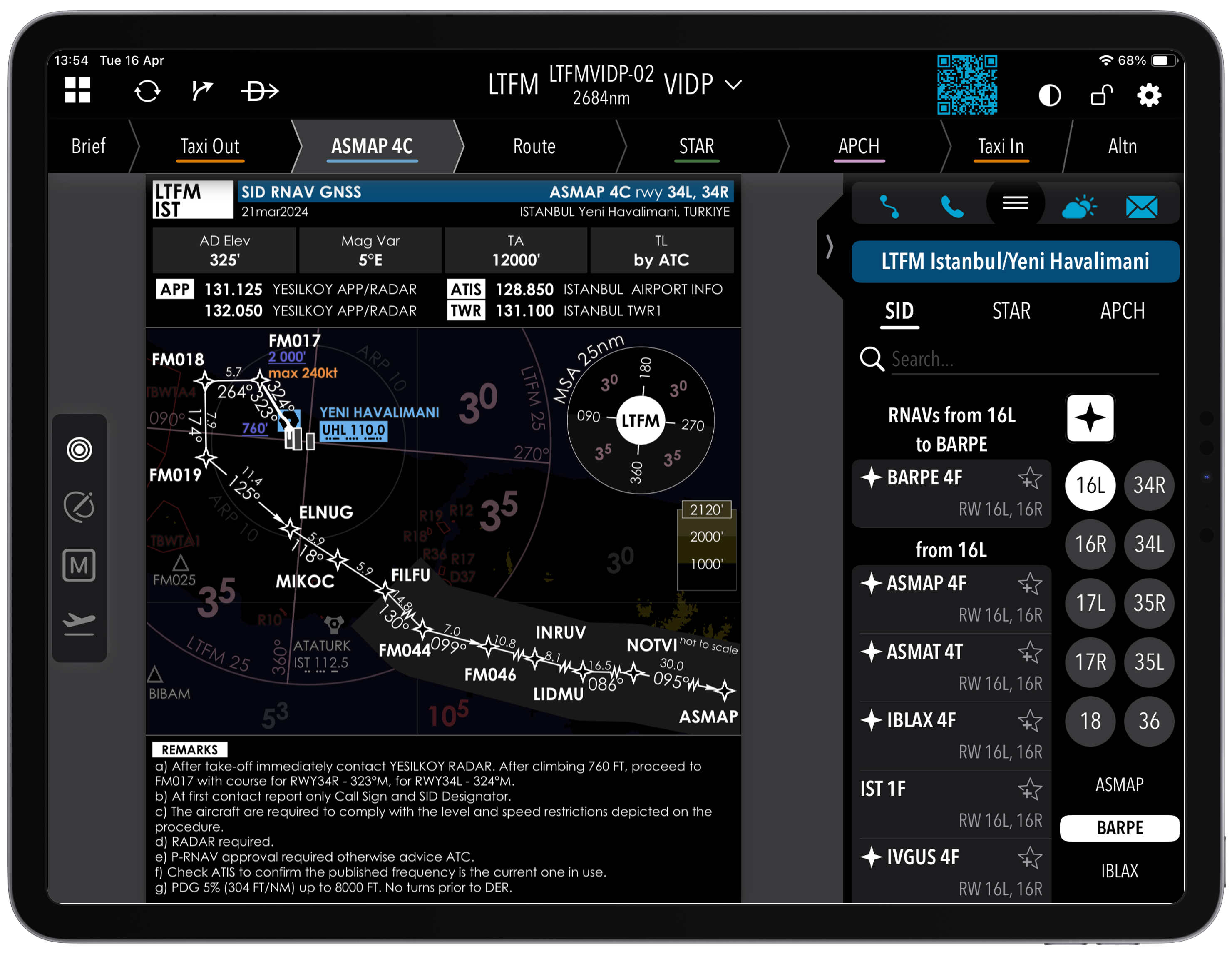
Only one procedure per chart to eliminate confusion and reduce the chance of mistakes.
The app works fully offline during the flight. Internet is only needed to update the data.
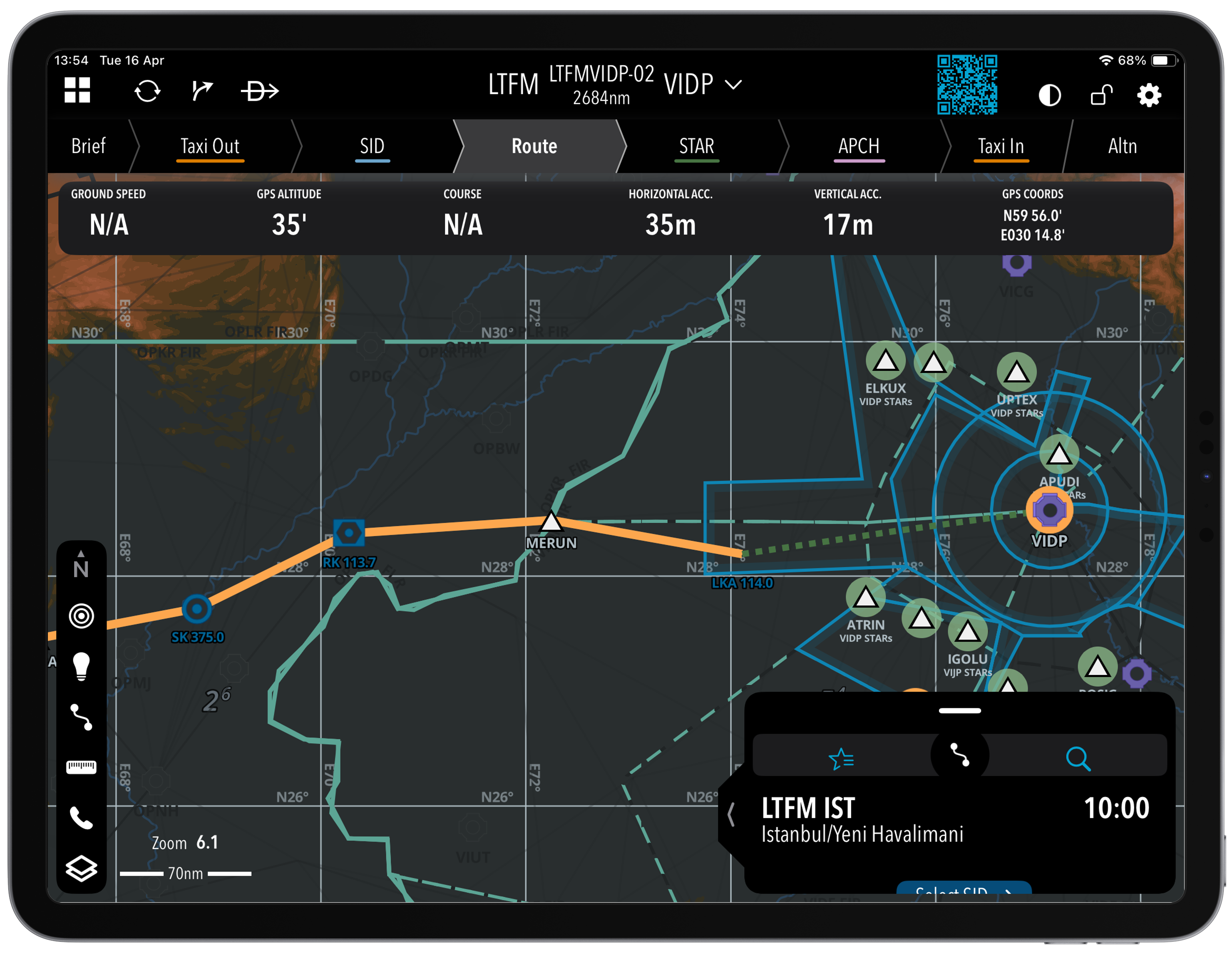
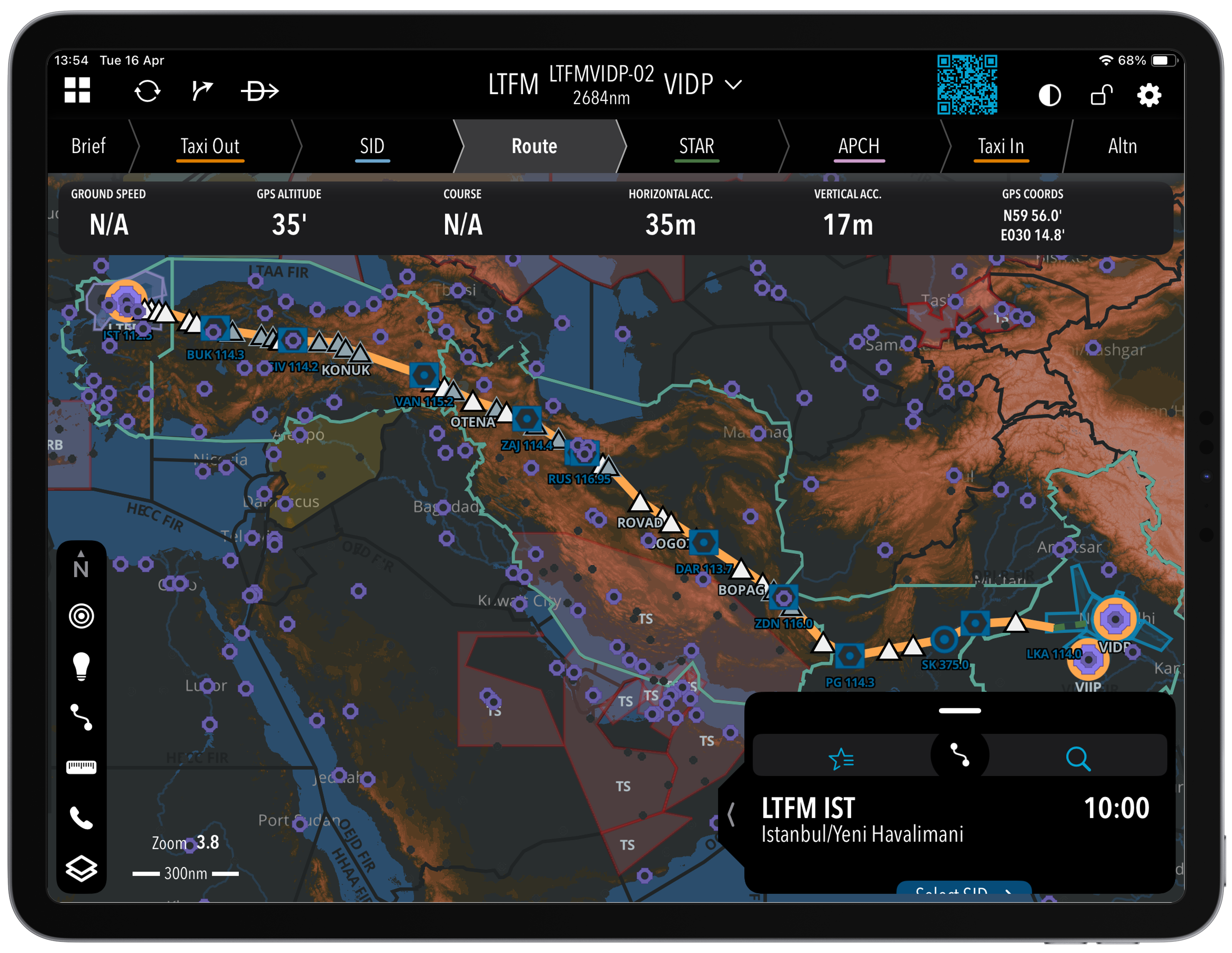
Flight data can be imported via integrational links with other software, email, or AFTN network. Once a flight is selected, its route is automatically plotted on the map with clearly labelled waypoints.
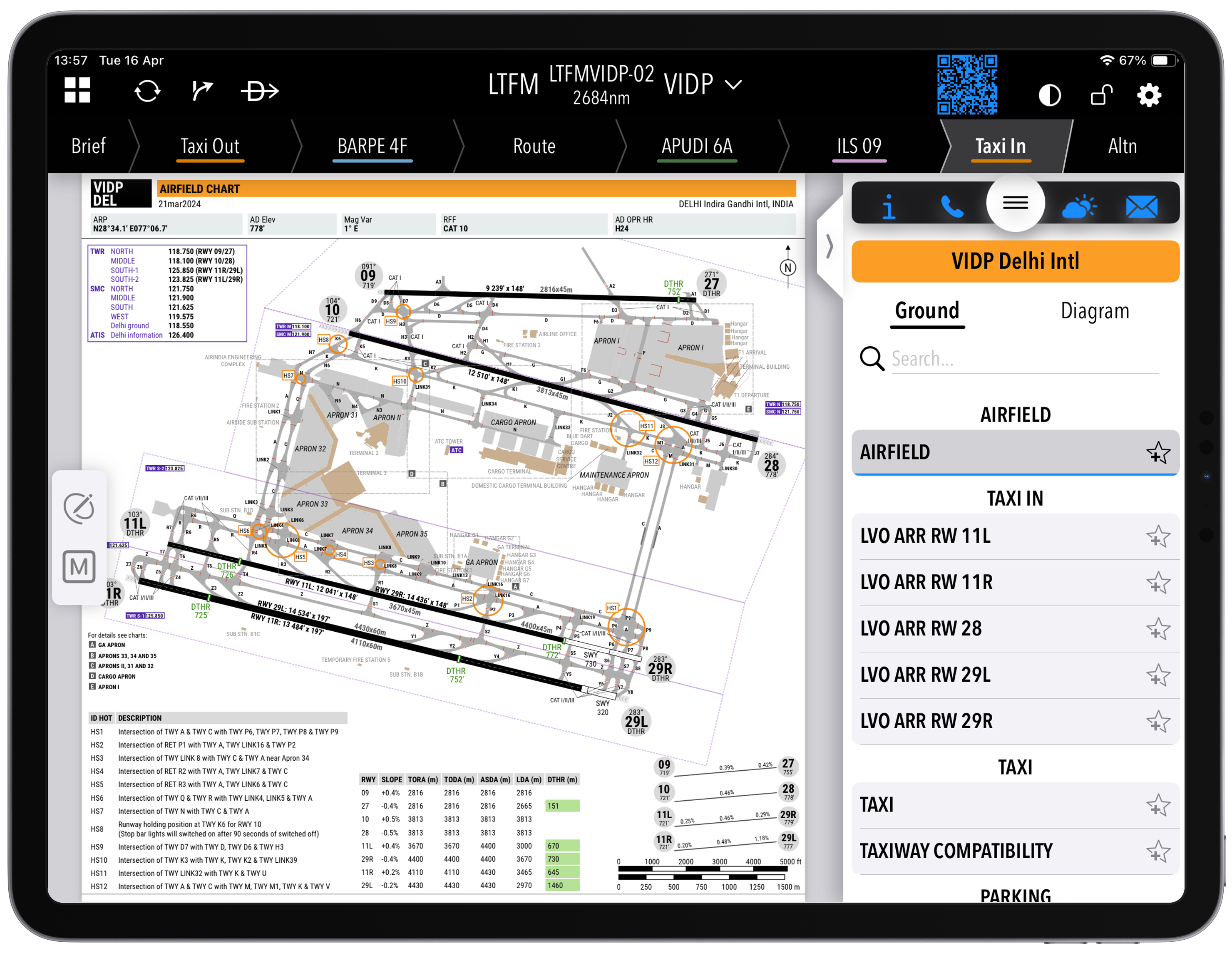
The route is divided into stages: Taxi Out, SIDs, Enroute, STARs, Approach, Taxi In. With just a few taps, pilots can access the procedure they need, when they need it.
After the flight plan is loaded, pilots can “fly” through the planned route by scrolling the Navlog. It gives a full visual walkthrough before the actual takeoff.
Pilots can instantly find needed procedures by tapping initial/final waypoints, selecting a runway ID or RNP status. Tailored EOSID procedures are also available.
Modern interface, real-time data, airport navigation and more — all in one place.
Designed for comfort and visibility — day or night, always easy to read.
Toggle airports, waypoints, SIGMETs, NOTAMs and more. Tap any item for full details.
Zoomable ground maps with taxiways and stands. Includes NOTAMs and METARs.
Quick access to national requirements and procedures directly within the app.
Download NaviJet from the App Store or request Android version for your airline fleet.